Sidi Medien
Trekking on the Grand Peak of Jebel Zaghouan (South face)
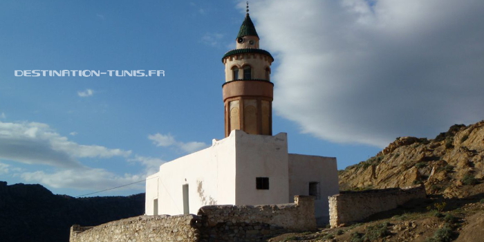
The village mosque
Hello everyone !
This hike describes the access to the summit by its southern face from the village of Sidi Medien, village located 450m above sea level.
This hike describes the access to the summit by its southern face from the village of Sidi Medien, village located 450m above sea level.
Jebel Zaghouan is an imposing mountain, the second highest peak in Tunisia with 1295m. Located in the north-eastern part of the Tunisian ridge , it stretches nine kilometers long and three wide. There are many caves, old mines or archaeological sites. The massif is covered by many hiking trails, shepherds tracks or old miners paths.
You will find in our list of hikes a 2nd possibility of access to the Grand Pic, by the north-west side starting from the mausoleum of Sidi Bou Gabrine(located at about 700m altitude).
Warning : this hike is difficult, to do with a small group of experienced hikers (10 people seems a maximum).
Access
To get there, from Tunis: take the road to Zaghouan, simply (this is indicated from the south exit of Tunis). Count a little less than an hour away. It is also possible to come from Hammamet and Nabeul, in 1 hour.
3km before Zaghouan, turn right towards Moghrane. Pass the agricultural school and continue for 4 km. Turn left towards Sidi Medien. Go along the west face of Jebel Zaghouan for 9km to Sidi Medien (halfway, you will follow a lake on your right). You can park in front of the mausoleum or the mosque.
Travel time
Approximately 80 km is a little over an hour from Tunis, depending on the traffic of course!
Approximately 80 km is a little over an hour from Tunis, depending on the traffic of course!
Geographical coordinates:
36 ° 20'4.39 "N
10 ° 5'16.88" E
36 ° 20'4.39 "N
10 ° 5'16.88" E
Difficulty: [difficult]
- Duration: 7 hours
- Altitude difference: 800 meters
- Trail: difficult, steep and rocky during the ascent. Descent easier.
- Technicality: long course! Plan for sufficient supplies, good shoes and clothing to protect yourself from the cold wind that can blow at the top.
Hiking route

🙂 Tips 🙂
- To print the plan, open the following file with GoogleEarth software.
- By clicking on the icons, display the names of the main points of the hike.
- To see the access road, click on Plan and then zoom out.
Description of the hike
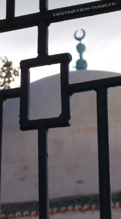
The hike begins in the village of Sidi Medien. Before beginning the hike or when returning, you can admire the mausoleum (dedicated to Chouaeb Ibn Houssine Al Andalousi said Sidi Medien) and the mosque of this Berber village.

The hike begins with a path that starts above the mosque. After a 500 meter warm-up, take the path that climbs up the mountain range. Take it on the mountainside, taking the direction of the summit.
The trail is heading towards an artificial platform composed of rubble from the old mines. The path is then paved, of good quality. The progression is in a valley open to the south.

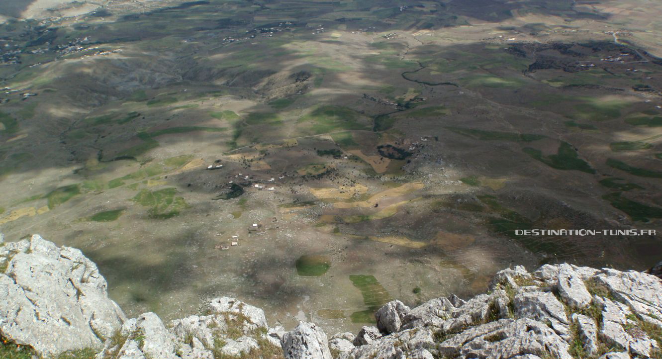
Continue this path to arrive at other constructions of minors. Among this mining complex are the pillars of an old Tyrolean overlooking the southern slope of the Jebel. This installation made it possible to quickly descend the extracted ores (mainly lead and zinc) towards the village. This place offers a nice point of view on the Sidi Medien valley.


From the mining platform, continue the progression by skirting the summit and climbing to the west (beware there is no way to this level).
A short climb will then take you to the summit consisting of two peaks separated by a pass. The peak located in the east seems the highest. This small pass is ideal for picnicking, in the shade or sheltered from the wind.

Still a little effort finally makes it possible to reach the summit of the Grand Pic.
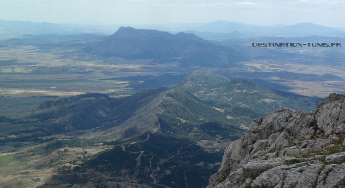
A majestic panorama opens then to our feet, with notably the plain of Zriba in the East, near 1000m below. There is also the Tunisian ridge that goes southwest, with the massifs of Bent Saidane, Fkirine , Bargou, and possibly the Serdj if the sky is clear.
It is now time to approach the descent, taking full south to return to the pillars of the old zip line.
Then continue down the west path. This stone path is well defined. The progression takes place in a vegetation typical of the massif, composed in particular of eglantiers (shrubs famous in Zaghouan for the manufacture of Nesri, this flower water perfumes including the famous Kaak el Warka, zaghouanese pastries) and carob trees.
Various meetings are possible in the massif, like this lizard. You can see herds of goats and sheep, raptors. With a little luck you will see a chameleon.Some wild boars live in the forests below the massif, but hide in the middle of the day.

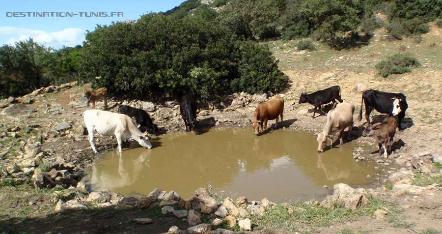
Down the road you come to a pond (it can be dry in the dry season) around which you may be able to see a herd of mountain cows watering there.
As on other massifs, these cows are in the quasi-wild state. If you do not see them, you will hear them!
From the pond, facing south, a path will take you back to the valley of Sidi Medien crossing gardens planted with fig trees. In these meadows also grows a species of blue thistle very aesthetic.


It only remains to return to the village to complete this beautiful but trying hiking.
To complete this hike
- 1st variant: possibility of climbing the Grand Pic de Zaghouan by the north-west face, starting from Sidi Bou Gabrine ,
- 2nd variant: combine the two hikes for two days: start with the southbound hike from Sidi Médien to the summit and then descend to the north to the mausoleum of Sidi Bou Gabrine. Spend the night at the mausoleum. The next day, resume the northwesterly hike to the pond and down the trail to Sidi Medien.
- Feel free to visit the city center of Zaghouan , charming medina where you can buy the succulent Kaak Warka
Comments
Post a Comment